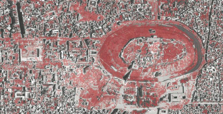
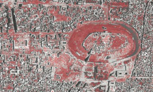
Conflict Urbanism: Aleppo is a call for inquiry and a call to action. It is an open-source, interactive, data-rich map of the city of Aleppo, at the neighborhood scale. Users can navigate the city, with the aid of high resolution satellite imagery from before and during the current civil war. It is also an invitation to students and other collaborators to record and narrate urban damage in Aleppo — at the cultural, infrastructural, or neighborhood scale — and to present that research in case studies which will be added to the website over time.
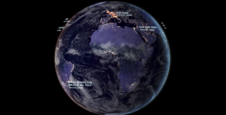
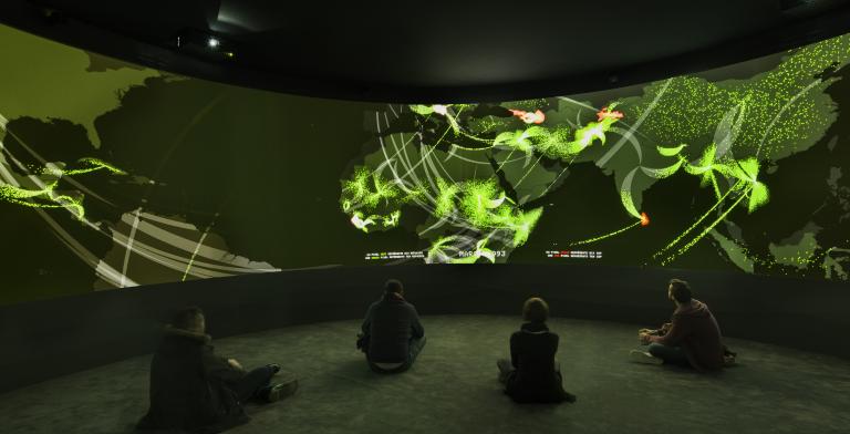
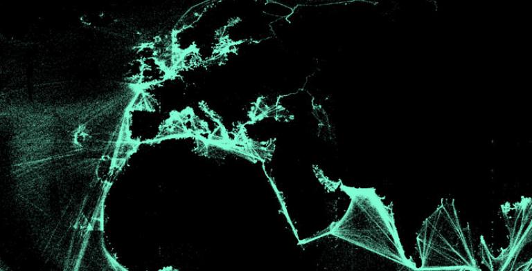
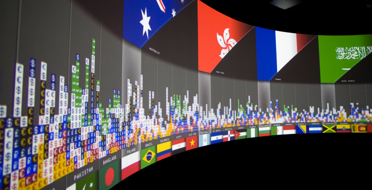
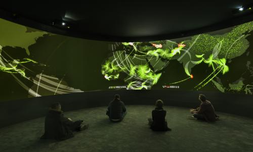
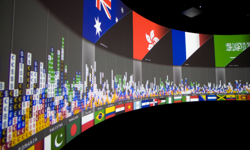
Exit is an immersive installation that investigates global human migrations. The maps are made from data which has been collected from a variety of sources, geocoded, statistically analyzed, re-processed through multiple programming languages and translated visually. Updated to coincide with Cop21 it was exhibited at Palais Tokyo from November 25, 2015 – January 10, 2016.
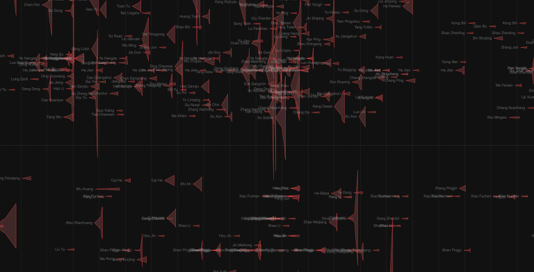
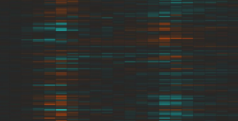
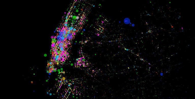
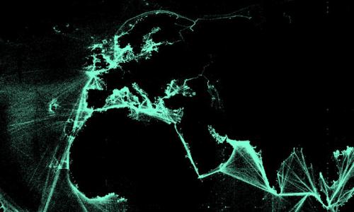
Using D3 as an interactive web platform we designed a map interface that is scaled globally while embedded with local stories about energy movement from port to port. Data can be viewed across time, which reveal changes in patterns of movement as the geopolitics, price of oil, and conditions at specific ports change.
In collaboration with Thomson Reuters Research Unit.
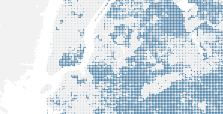
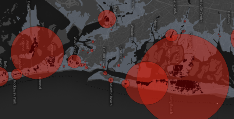
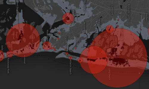
Superstorm Sandy made landfall in New Jersey on October 29th. Data generated by governments and volunteers in the weeks following the storm stand to provide critical insight into how the region was affected. These pages make such data visible, and serve as launching pad for further investigations and questions of the impact of the storm.
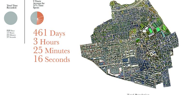
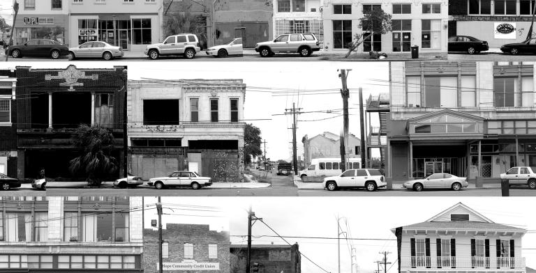
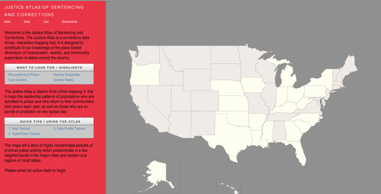
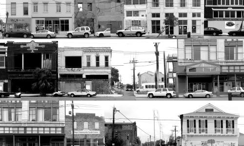
Linking Prisoner Reentry to Community Rebuilding in Post-Katrina New Orleans:
In the summer of 2006 SIDL received a grant to further their work in Justice Mapping into a real world application at an architectural scale. A group of five graduate students received fellowships to travel to New Orleans with Professor Kurgan to come up with a vision plan for a high incarceration neighborhood in New Orleans from the perspective of Justice Reinvestment. This work was continued by 2nd year architecture students in the studio in the Spring of 2007. We gave a presentation to City Council, June 12th 2007. Final documentation of this work was published in 2009.
Exits, a panoramic multi-media installation which was on view at the Cartier Foundation in Paris, France from November 2008 – March 2009 as part of “Elsewhere starts here,” conceptualized by Paul Virilio. The project was part of a larger exhibition, Terre Natale: Stop Eject.